
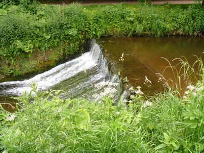
Weir On River Skell Approximately 120 Metres West Of The Reservoir
Weir On River Skell Approximately 120 Metres West Of The Reservoir, weir in Lindrick with Studley Royal and Fountains, Harrogate, North Yorkshire, UK
Lokalizacja: Lindrick with Studley Royal and Fountains
Współrzędne GPS: 54.11041,-1.57528
Najnowsza aktualizacja: 7 marca 2025 o 04:20

Studley Royal Park
569 m
Fountains Hall
731 m
Markenfield Hall
1.9 km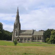
St Mary's Church, Studley Royal
975 m
Church of Saint Lawrence
1.7 km
Statue on West Side of North Crescent Pond
537 m
Studley Royal Park including the Ruins of Fountains Abbey
651 m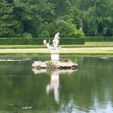
Statue of Neptune and Pedestal in Centre of Moon Pond
470 m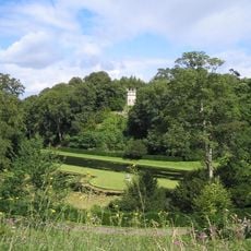
The Octagon Tower
644 m
Weir and reservoir below Tent Hill
330 m
Temple Of Piety On East Side Of Moon Pond
479 m
The Wrestlers
589 m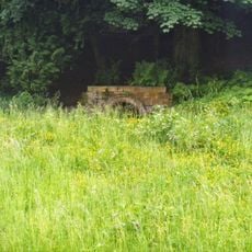
Robin Hood's Well
198 m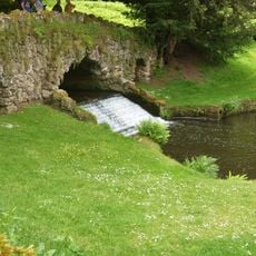
Rustic Bridge At South End Of The Canal, With Culvert And Arch To Reservoir
261 m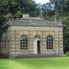
Banqueting House Approximately 100 Metres To West Of The Canal
536 m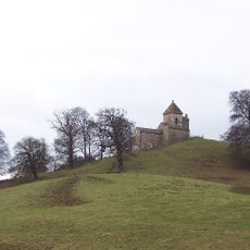
How Hill Tower
1.3 km
The Obelisk Approximately 80 Metres West Of Church Of St Mary
977 m
Tunnel Approximately 20 Metres West Of The Octagon, With Flanking Wall Attached To South
651 m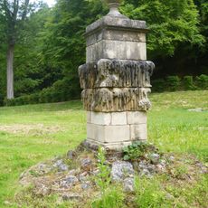
Quebec Monument
308 m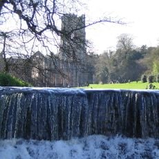
Weir At North End Of The Canal, With Piers, Fishing Pavilions And Balustrade
719 m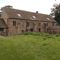
Abbey Mill
631 m
Weir On River Skell Approximately 10 Metres East Of The Infirmary At Fountains Abbey
243 m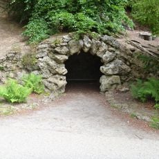
Grotto On North Side Of Reservoir
336 m
Boundary Wall With West And South Gates, Church Of St Mary
977 m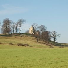
Site of medieval chapel and section of Fountains Park park pale, 170m south west of How Hill Farm
1.4 km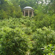
Temple Of Fame On Cliff Top At South Side Of Moon Pond
388 m
The Canal Gates And Flanking Walls On West Side Of The Lake
701 m
Stewards House, Now National Trust Restaurant And Shop
698 mRecenzje
Odwiedzili Państwo to miejsce? Kliknijcie gwiazdki, aby je ocenić i podzielić się swoimi zdjęciami lub doświadczeniem ze społecznością. Wypróbuj teraz! Możesz anulować w każdej chwili.
Odkrywaj ukryte skarby w każdej przygodzie!
Od urokliwych małych kawiarni po ukryte punkty widokowe – ucieknij od tłumów i znajdź miejsca, które naprawdę do Ciebie pasują. Nasza aplikacja ułatwia wszystko: wyszukiwanie głosowe, sprytne filtry, zoptymalizowane trasy i autentyczne wskazówki od podróżników z całego świata. Pobierz teraz i przeżyj przygodę na swoim telefonie!

Nowe podejście do odkrywania turystyki❞
— Le Figaro
Wszystkie miejsca warte odkrycia❞
— France Info
Wycieczka na miarę w zaledwie kilka kliknięć❞
— 20 Minutes