
Oldruitenborgh, building in Steenwijkerland, Netherlands
Lokalizacja: Steenwijkerland
Część: Oldruitenborgh
Współrzędne GPS: 52.67957,5.95047
Najnowsza aktualizacja: 11 marca 2025 o 13:54
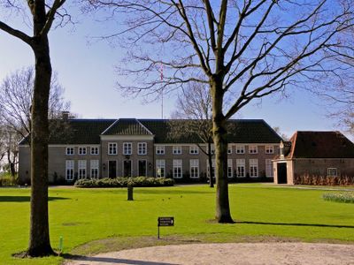
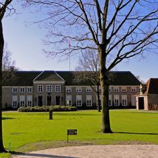
Oldruitenborgh
14 m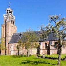
Kleine of Lieve Vrouwkerk
129 m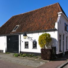
Bisschopstraat 30, Vollenhove
143 m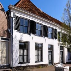
Bisschopstraat 15, Vollenhove
173 m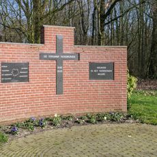
Oorlogsmonument
35 m
Kerkstraat 50, Vollenhove
245 m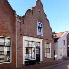
Kerkstraat 30, Vollenhove
215 m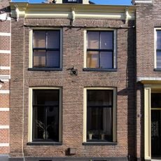
Kerkstraat 39, Vollenhove
242 m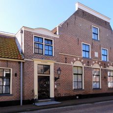
Marxveld
142 m
Bisschopstraat 52, Vollenhove
212 m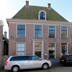
Kerkstraat 12, Vollenhove
211 m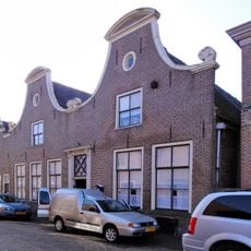
Kerkstraat 14, Vollenhove
207 m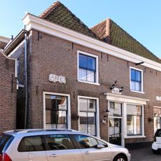
Kerkstraat 22, Vollenhove
213 m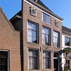
Kerkstraat 29, Vollenhove
230 m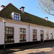
Bisschopstraat 20, Vollenhove
154 m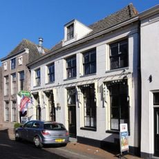
Kerkstraat 31, Vollenhove
236 m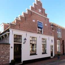
Kerkstraat 36, Vollenhove
216 m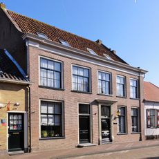
Bisschopstraat 27, Vollenhove
190 m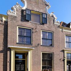
Kerkstraat 41, Vollenhove
242 m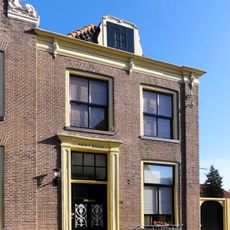
Kerkstraat 43, Vollenhove
242 m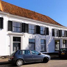
Lindenhorst
175 m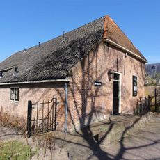
Oldruitenborgh, orangerie
85 m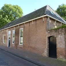
Oldruitenborgh, bouwhuis
141 m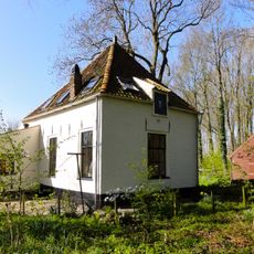
Oldruitenborgh, tuinmanswoning
82 m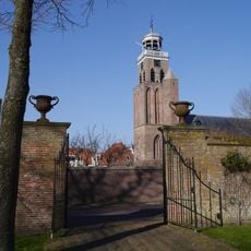
Oldruitenborgh, muur met poorten
73 m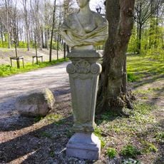
Oldruitenborgh, tuinsieraden
36 m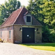
Koetshuis, Oldruitenborgh
27 m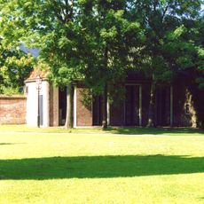
Oldruitenborgh, dienstwoning (Benthuis)
82 mRecenzje
Odwiedzili Państwo to miejsce? Kliknijcie gwiazdki, aby je ocenić i podzielić się swoimi zdjęciami lub doświadczeniem ze społecznością. Wypróbuj teraz! Możesz anulować w każdej chwili.
Odkrywaj ukryte skarby w każdej przygodzie!
Od urokliwych małych kawiarni po ukryte punkty widokowe – ucieknij od tłumów i znajdź miejsca, które naprawdę do Ciebie pasują. Nasza aplikacja ułatwia wszystko: wyszukiwanie głosowe, sprytne filtry, zoptymalizowane trasy i autentyczne wskazówki od podróżników z całego świata. Pobierz teraz i przeżyj przygodę na swoim telefonie!

Nowe podejście do odkrywania turystyki❞
— Le Figaro
Wszystkie miejsca warte odkrycia❞
— France Info
Wycieczka na miarę w zaledwie kilka kliknięć❞
— 20 Minutes