23, building in North Cerney, Cotswold, Gloucestershire, UK
Lokalizacja: North Cerney
Współrzędne GPS: 51.77133,-1.97067
Najnowsza aktualizacja: 21 listopada 2025 o 15:33
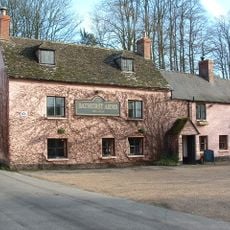
Bathurst Arms
221 m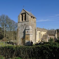
Church of All Saints
386 m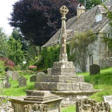
Cross and cross shaft base in the churchyard of the Church of All Saints, circa 9 metres south of the south porch
399 m
Group of 35 17th to 18th century monuments in the churchyard of the Church of All Saints, west of the path to Church Cottage as far as the Henry Baldwin Monument
408 m
Pair of monuments in the churchyard of the Church Of All Saints, circa 18 metres south of the south porch
408 m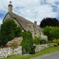
Church Cottage
394 m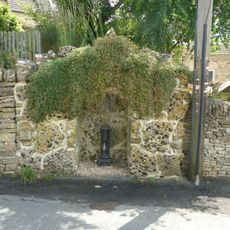
Water pump and water pump recess opposite Elmlea
23 m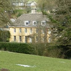
The Old Rectory
459 m
Stockwell Monument in the churchyard of the Church of All Saints, circa 6 metres west of the porch
403 m
Mill And Miller's House
225 m
Row of 3 monuments in the churchyard of the Church of All Saints circa 6 and 1/2 metres south east of the chancel
382 m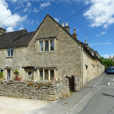
Elmlea
14 m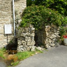
Pump and pump recess circa 10 metres south east of Granny Mabbett's Corner
90 m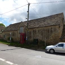
Stableblock circa 50 metres north of Manor Farm
131 m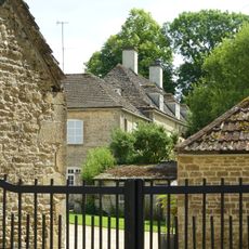
Manor Farm
184 m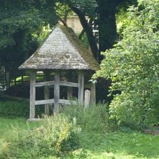
Lychgate on the northern boundary of the churchyard of the Church of All Saints
346 m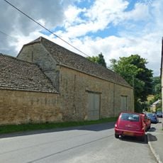
Double barn circa 50 metres north of Manor Farm
168 m
Thatched Outbuilding Circa 8 Metres North Of Manor Farm
156 m
36
89 m
Gate Piers At The Lodge
724 m
Milestone, N of N Cerney
376 m
Open-Fronted Store Circa 30 Metres North West Of Manor Farm
187 m
Pair Of Cottages At Broadbridge (One Occupied By Mr And Mrs Crump)
386 m
School And School House
93 m
K6 telephone kiosk
132 m
Stableblock Circa 30 Metres North East Of The Old Rectory
411 m
Group of monuments in the churchyard of the Church of All Saints east of the path to Church Cottage as far as the Thomas Radway Monument
396 m
Cerney House
673 mRecenzje
Odwiedzili Państwo to miejsce? Kliknijcie gwiazdki, aby je ocenić i podzielić się swoimi zdjęciami lub doświadczeniem ze społecznością. Wypróbuj teraz! Możesz anulować w każdej chwili.
Odkrywaj ukryte skarby w każdej przygodzie!
Od urokliwych małych kawiarni po ukryte punkty widokowe – ucieknij od tłumów i znajdź miejsca, które naprawdę do Ciebie pasują. Nasza aplikacja ułatwia wszystko: wyszukiwanie głosowe, sprytne filtry, zoptymalizowane trasy i autentyczne wskazówki od podróżników z całego świata. Pobierz teraz i przeżyj przygodę na swoim telefonie!

Nowe podejście do odkrywania turystyki❞
— Le Figaro
Wszystkie miejsca warte odkrycia❞
— France Info
Wycieczka na miarę w zaledwie kilka kliknięć❞
— 20 Minutes