
Hamstraat 20B, Roermond, building in Roermond, Netherlands
Lokalizacja: Roermond
Adres: Hamstraat 20B
Współrzędne GPS: 51.19307,5.99072
Najnowsza aktualizacja: 11 marca 2025 o 01:54

Munsterkerk
159 m
Munsterabdij
94 m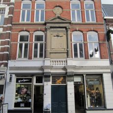
Synagogue Roermond
11 m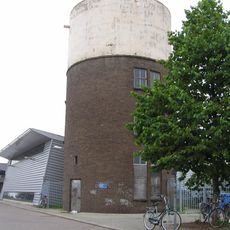
Nieuwe watertoren
239 m
Former episcopal palace of Roermond
225 m
Prinsenhof
173 m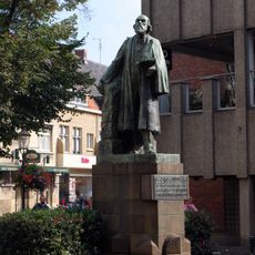
Statue of Pierre Cuypers
139 m
Schuitenberg 45, Roermond
244 m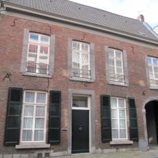
Munsterstraat 8, Roermond
250 m
Munsterstraat 3, Roermond
271 m
Schoolstraat 1, Roermond
166 m
Heilige Geeststraat 44, Roermond
225 m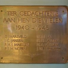
Plaquette in Station Roermond
144 m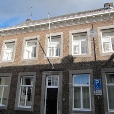
Munsterstraat 5, Roermond
263 m
Klein College
217 m
Munsterstraat 10, Roermond
233 m
Munsterplein 17, Roermond
188 m
Munsterstraat 7, Roermond
254 m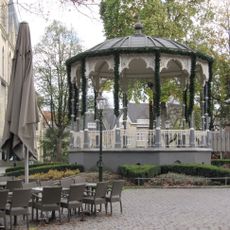
Bandstand Munsterplein
190 m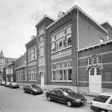
Begijnhofstraat 28, Roermond
243 m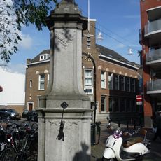
Pump Munsterplein Roermond
143 m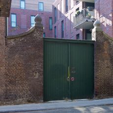
Garden wall with pillars at Heilige Geeststraat 24
227 m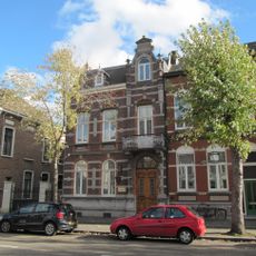
Willem II Singel 21, Roermond
264 m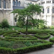
Site with remains of Munsterabdij
149 m
Veldstraat 28, Roermond
102 m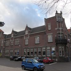
Kloosterwandstraat 6, Roermond
194 m
Willem II Singel 2, Roermond
142 m
Godsweerdersingel 35, Roermond
247 mOdwiedzili Państwo to miejsce? Kliknijcie gwiazdki, aby je ocenić i podzielić się swoimi zdjęciami lub doświadczeniem ze społecznością. Wypróbuj teraz! Możesz anulować w każdej chwili.
Odkrywaj ukryte skarby w każdej przygodzie!
Od urokliwych małych kawiarni po ukryte punkty widokowe – ucieknij od tłumów i znajdź miejsca, które naprawdę do Ciebie pasują. Nasza aplikacja ułatwia wszystko: wyszukiwanie głosowe, sprytne filtry, zoptymalizowane trasy i autentyczne wskazówki od podróżników z całego świata. Pobierz teraz i przeżyj przygodę na swoim telefonie!

Nowe podejście do odkrywania turystyki❞
— Le Figaro
Wszystkie miejsca warte odkrycia❞
— France Info
Wycieczka na miarę w zaledwie kilka kliknięć❞
— 20 Minutes