
Hadrian's Wall in wall mile 2, Walker section of Hadrian's Wall 171m long across Millers Dene playing field
Hadrian's Wall in wall mile 2, Walker section of Hadrian's Wall 171m long across Millers Dene playing field, archaeological site in the United Kingdom
Lokalizacja: Newcastle upon Tyne
Część: Hadrian's Wall, borders of the Roman Empire
Współrzędne GPS: 54.98380,-1.54982
Najnowsza aktualizacja: 19 marca 2025 o 14:23

Byker Wall
2 km
Castrum Segedunum
1.2 km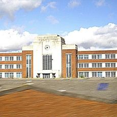
Wills Building
1.6 km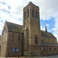
St Luke's Church, Wallsend
1.3 km
Milecastle 1
55 m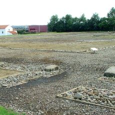
Milecastle 0
1.2 km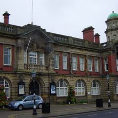
Wallsend Town Hall
1.7 km
Milecastle 2
1.4 km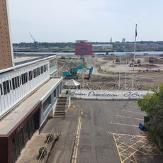
Segedunum Roman Fort
1.2 km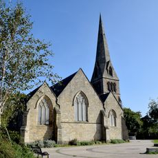
Church of St Michael With St Lawrence
1.9 km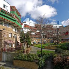
1-52 Raby Gate, 1-55 Shipley Rise, attached walls, seats, fences, pergolas and steps, and Structure Housing District Heating System
2 km
1, 2 and 3 Grace Street
1.9 km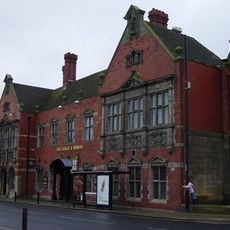
Coach And Horses Public House
1.8 km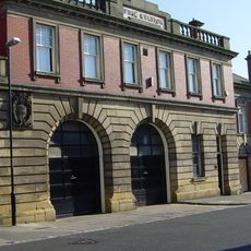
Fire Station
1.7 km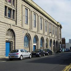
Wallsend Memorial Hall Incorporating A First World War Memorial With Second World War Additions
1.3 km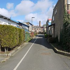
Swimming Baths
2.1 km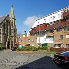
1-81 Felton Walk, St Lawrence RC Church and Church Hall, 1-28 Byker Crescent, 1-8 Headlam House, 1-12 Felton House, and attached walls, fences and pergolas
1.8 km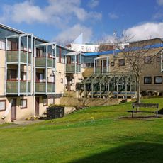
1-39 Mount Pleasant House and Attached Walls and Fences
1.9 km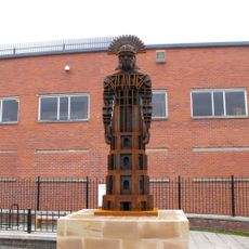
Hadrian's Wall in wall mile 0, Wallsend Roman fort, Segedunum
1.2 km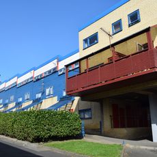
39-79 Raby Street with attached bin stores and sheds, and walls and fences to rear
2.1 km
Wallsend Library
1.6 km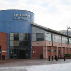
East End Library
2 km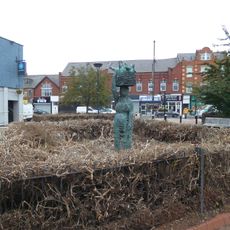
Market Woman, High Street, junction with Station Road, Wallsend
1.3 km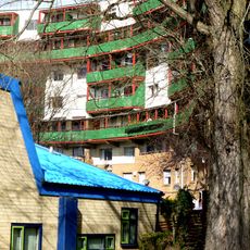
Nos. 1-14, With Attached Archway And Ramp, And Walls And Fences To Rear
2.1 km
1-11 Winship Terrace with kerbs to front and fences to rear
1.8 km
No.1 -17, With Kerbs To Front And Attached Fences
1.8 km
18-22 With Attached Fences And Garages To The Rear
1.9 km
1,3 And 5 And Attached Fences
1.9 kmRecenzje
Odwiedzili Państwo to miejsce? Kliknijcie gwiazdki, aby je ocenić i podzielić się swoimi zdjęciami lub doświadczeniem ze społecznością. Wypróbuj teraz! Możesz anulować w każdej chwili.
Odkrywaj ukryte skarby w każdej przygodzie!
Od urokliwych małych kawiarni po ukryte punkty widokowe – ucieknij od tłumów i znajdź miejsca, które naprawdę do Ciebie pasują. Nasza aplikacja ułatwia wszystko: wyszukiwanie głosowe, sprytne filtry, zoptymalizowane trasy i autentyczne wskazówki od podróżników z całego świata. Pobierz teraz i przeżyj przygodę na swoim telefonie!

Nowe podejście do odkrywania turystyki❞
— Le Figaro
Wszystkie miejsca warte odkrycia❞
— France Info
Wycieczka na miarę w zaledwie kilka kliknięć❞
— 20 Minutes