
Open Fronted Shelter Sheds Circa 40 Metres West Of Dilleys Farmhouse
Open Fronted Shelter Sheds Circa 40 Metres West Of Dilleys Farmhouse, building in Baunton, Cotswold, Gloucestershire, UK
Lokalizacja: Baunton
Współrzędne GPS: 51.75514,-1.94163
Najnowsza aktualizacja: 27 października 2025 o 08:35

Barnsley Warren
1.4 km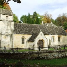
Church of St Margaret
3 km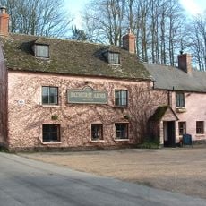
Bathurst Arms
2.7 km
Church of All Saints
2.7 km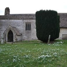
Church of St Mary Magdalene
2.5 km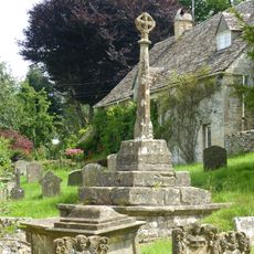
Cross and cross shaft base in the churchyard of the Church of All Saints, circa 9 metres south of the south porch
2.7 km
Group of 35 17th to 18th century monuments in the churchyard of the Church of All Saints, west of the path to Church Cottage as far as the Henry Baldwin Monument
2.7 km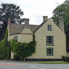
The Bear
2.2 km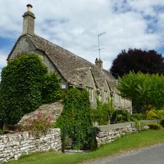
Church Cottage
2.7 km
Pair of monuments in the churchyard of the Church Of All Saints, circa 18 metres south of the south porch
2.7 km
Two monuments in the churchyard of the Church Of St Margaret circa 1 and 1/2 to 3 metres south east of the porch
3 km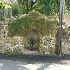
Water pump and water pump recess opposite Elmlea
2.7 km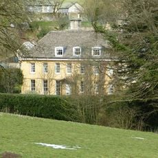
The Old Rectory
2.8 km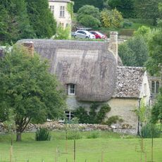
Thatch Cottage
3 km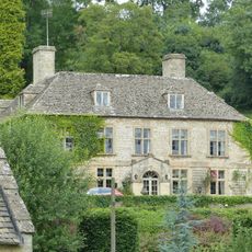
Bagendon Manor or Manor Farm
3 km
Row of 3 monuments in the churchyard of the Church of All Saints circa 6 and 1/2 metres south east of the chancel
2.7 km
Stockwell Monument in the churchyard of the Church of All Saints, circa 6 metres west of the porch
2.7 km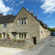
Elmlea
2.7 km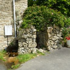
Pump and pump recess circa 10 metres south east of Granny Mabbett's Corner
2.7 km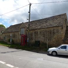
Stableblock circa 50 metres north of Manor Farm
2.7 km
Manor Farm
2.7 km
Baunton Mill
2.7 km
Cross shaft and cross shaft base circa 40 metres south of Number 59
2.4 km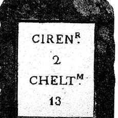
Milestone
2.2 km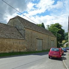
Double barn circa 50 metres north of Manor Farm
2.7 km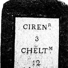
Milestone
1.9 km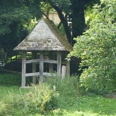
Lychgate on the northern boundary of the churchyard of the Church of All Saints
2.8 km
Cerney House Gardens
2.9 kmRecenzje
Odwiedzili Państwo to miejsce? Kliknijcie gwiazdki, aby je ocenić i podzielić się swoimi zdjęciami lub doświadczeniem ze społecznością. Wypróbuj teraz! Możesz anulować w każdej chwili.
Odkrywaj ukryte skarby w każdej przygodzie!
Od urokliwych małych kawiarni po ukryte punkty widokowe – ucieknij od tłumów i znajdź miejsca, które naprawdę do Ciebie pasują. Nasza aplikacja ułatwia wszystko: wyszukiwanie głosowe, sprytne filtry, zoptymalizowane trasy i autentyczne wskazówki od podróżników z całego świata. Pobierz teraz i przeżyj przygodę na swoim telefonie!

Nowe podejście do odkrywania turystyki❞
— Le Figaro
Wszystkie miejsca warte odkrycia❞
— France Info
Wycieczka na miarę w zaledwie kilka kliknięć❞
— 20 Minutes