
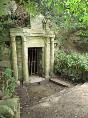
Rock Well approximately 50 metres west of Dam Head Cottages in Bretton Park
Rock Well approximately 50 metres west of Dam Head Cottages in Bretton Park, Grade II listed wellhead in the grounds of Bretton Hall (now Yorkshire Sculpture Park) in the parish of High Hoyland, Barnsley, South Yorkshire, UK
Lokalizacja: High Hoyland
Współrzędne GPS: 53.60710,-1.56363
Najnowsza aktualizacja: 8 marca 2025 o 07:24
Yorkshire Sculpture Park
862 m
Bretton Hall College
732 m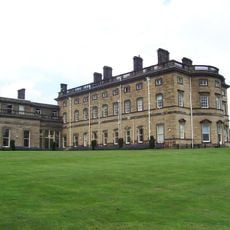
Bretton Hall
732 m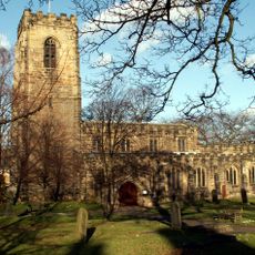
Church of All Saints
3.3 km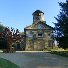
Church In Bretton Park
523 m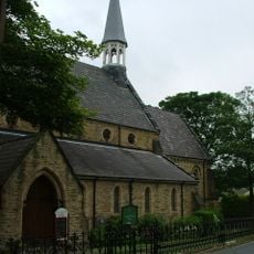
Church of All Saints
3.4 km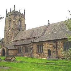
Church of St Peter, Woolley
3 km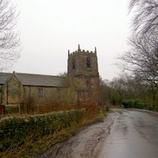
Church of All Hallows
2.3 km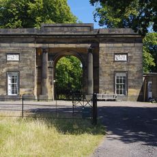
Archway Lodge In Bretton Park Including Flanking Walls
757 m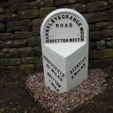
Milepost Approximately 600 Metres South Of Junction With Park Road
719 m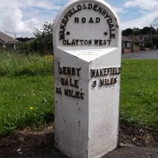
Milepost At Juntion With Park Road
3.4 km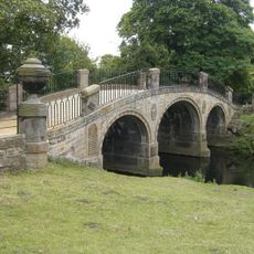
Bridge over The Cut (east end) in Bretton Park
228 m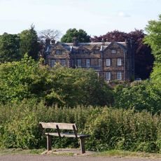
Birthwaite Hall Including Attached Range To West
2.2 km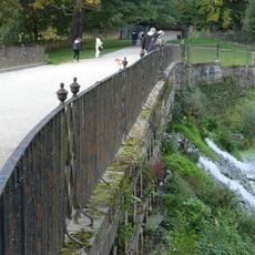
Cascade Bridge and weir in Bretton Park
880 m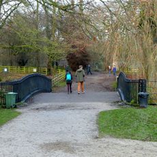
Bridge over The Cut immediately north of Cascade Bridge in Bretton Park
897 m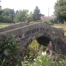
Park Mill Bridge
3 km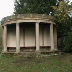
Summer house in Bridge Royd Wood approximately 200 metres west of Cascade Bridge in Breton Park
1 km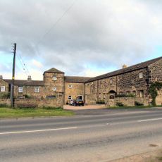
Windhill Gate Farmhouse An Attached Outbuildings
3.1 km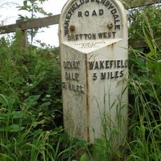
Milepost Approximately 1000 Metres North East Of West Bretton Traffic Island
2.5 km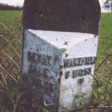
Milepost Approximately 500 Metres West Of West Bretton Traffic Island
2.2 km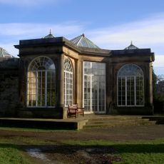
Camellia House in Bretton Park approximately 80 metres west of Bretton Hall
878 m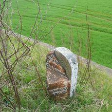
Milestone Approximately 100 Metres South Of Track To Snapethorpe Farm
2.1 km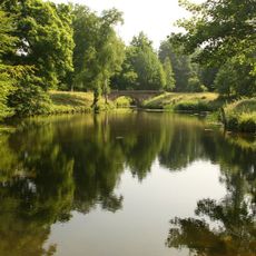
Footbridge in Menagerie Wood approximately 200 metres south east of Cascade Bridge in Bretton Park
688 m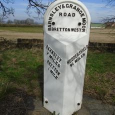
Milepost Approximately 100 Metres South Of West Bretton Traffic Island
2.1 km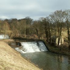
Overflow to Lower Lake, 3 weirs to east side of dam and pump house adjacent to Middle Weir in Bretton Park
164 m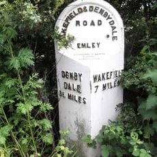
Milepost 200 Yards South Of Junction With Litherop Lane
2.1 km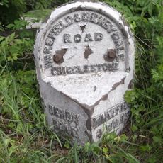
Milestone Approximately 10 Metres North Of Junction With Branch Road
3.7 km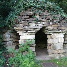
Grotto at Bretton Hall
1 kmRecenzje
Odwiedzili Państwo to miejsce? Kliknijcie gwiazdki, aby je ocenić i podzielić się swoimi zdjęciami lub doświadczeniem ze społecznością. Wypróbuj teraz! Możesz anulować w każdej chwili.
Odkrywaj ukryte skarby w każdej przygodzie!
Od urokliwych małych kawiarni po ukryte punkty widokowe – ucieknij od tłumów i znajdź miejsca, które naprawdę do Ciebie pasują. Nasza aplikacja ułatwia wszystko: wyszukiwanie głosowe, sprytne filtry, zoptymalizowane trasy i autentyczne wskazówki od podróżników z całego świata. Pobierz teraz i przeżyj przygodę na swoim telefonie!

Nowe podejście do odkrywania turystyki❞
— Le Figaro
Wszystkie miejsca warte odkrycia❞
— France Info
Wycieczka na miarę w zaledwie kilka kliknięć❞
— 20 Minutes