
Boundary Marker In Lane At Rear Of Number 6 The Coastguard Houses
Boundary Marker In Lane At Rear Of Number 6 The Coastguard Houses, building in Amble By the Sea, Northumberland, UK
Lokalizacja: Amble by the Sea
Współrzędne GPS: 55.33675,-1.57217
Najnowsza aktualizacja: 9 marca 2025 o 21:00


Church of St Cuthbert
820 m
Amble South Pier light
259 m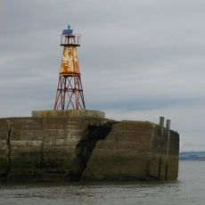
Amble North Pier light
354 m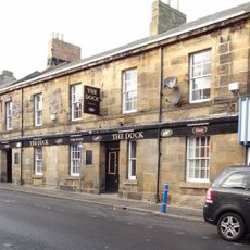
The Dock Public House
892 m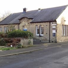
Amble Library
854 m
The Waterloo Public House
950 m
Clock Tower War Memorial
615 m
Ruined Walls To East Of Roman Catholic Church Of Sacred Heart And St Cuthbert
1.1 km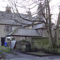
The Vicarage With Outbuildings And Yard Wall
812 m
Hauxley Hall
1.8 km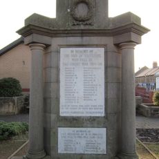
Radcliffe War Memorial 15 Metres West Of Clock Tower
632 m
41, Queen Street
854 m
East Cemetary Entrance Screen And Chapel Spire
417 m
Gate Piers, Gates And Paddock Walls To North Of The Vicarage
804 m
Main Block Of Co Operative Society Premises
721 m
Boundary Marker 20 Metres West Of Number 1 The Coastguard House
53 m
Wall Enclosing Church Of St Cuthbert With Gates Piers And Gates
829 m
3 5 7, North Street
853 m
31-39, Queen Street
870 m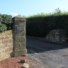
Gatepiers Quadrant Wall And Mounting Block To North Of Gloster Hill Farmhouse
1.5 km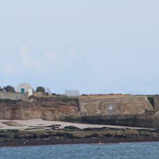
Garden Walls And Explosives Store To South Of Lighthouse And Building
2.1 km
Monastic cell and medieval tower on Coquet Island
2.1 km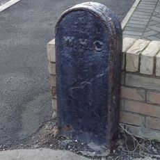
Boundary Marker 20 Metres South East Of Cliff Cottage
22 m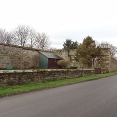
Garden Wall To East Of Hauxley Hall With Attached Summerhouse
1.8 km
Old Gate Piers To East Of Gloster Hill Farmhouse
1.4 km
Walls And Gate To War Memorial Garden
609 m
Hauxley Farmhouse Wall And Attached Outbuildings
1.8 km
Stable Range To West Of Hauxley Hall
1.8 kmRecenzje
Odwiedzili Państwo to miejsce? Kliknijcie gwiazdki, aby je ocenić i podzielić się swoimi zdjęciami lub doświadczeniem ze społecznością. Wypróbuj teraz! Możesz anulować w każdej chwili.
Odkrywaj ukryte skarby w każdej przygodzie!
Od urokliwych małych kawiarni po ukryte punkty widokowe – ucieknij od tłumów i znajdź miejsca, które naprawdę do Ciebie pasują. Nasza aplikacja ułatwia wszystko: wyszukiwanie głosowe, sprytne filtry, zoptymalizowane trasy i autentyczne wskazówki od podróżników z całego świata. Pobierz teraz i przeżyj przygodę na swoim telefonie!

Nowe podejście do odkrywania turystyki❞
— Le Figaro
Wszystkie miejsca warte odkrycia❞
— France Info
Wycieczka na miarę w zaledwie kilka kliknięć❞
— 20 Minutes