
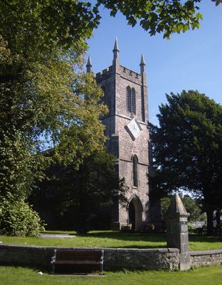
St Thomas' Church, Milnthorpe, church in United Kingdom
Lokalizacja: Milnthorpe
Architekci: George Webster
Styl architektoniczny: Gothic Revival
Strona internetowa: http://www.achurchnearyou.com/milnthorpe-st-thomas/
Strona internetowa: http://achurchnearyou.com/milnthorpe-st-thomas
Współrzędne GPS: 54.22680,-2.77020
Najnowsza aktualizacja: 8 marca 2025 o 09:44
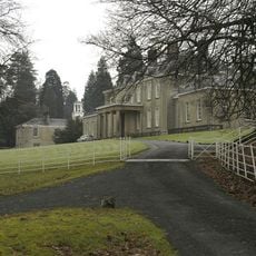
Dallam Tower
961 m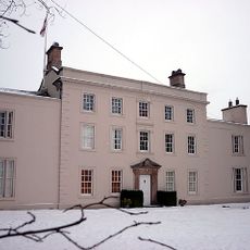
Ashton House
2.1 km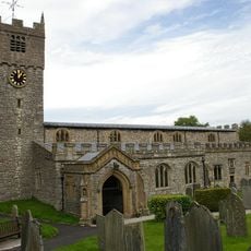
St Michael's Church, Beetham
2 km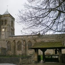
St Peter's Church, Heversham
1.9 km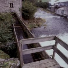
Heron Corn Mill
1.5 km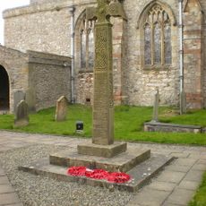
Heversham War Memorial
1.9 km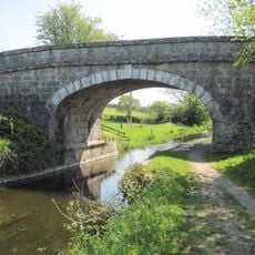
Holme Park Bridge Over Kendal/Lancaster Canal
3.5 km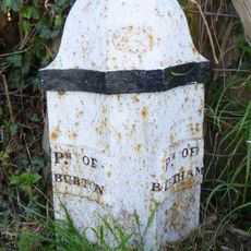
Boundary Post Approximately 650 Metres North East Of Holme Parish Church
3 km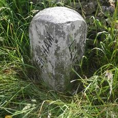
Boundary Stone Opposite Leasgill Cottage
2.8 km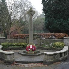
Beetham War Memorial
1.9 km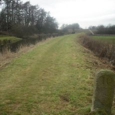
Milestone On Kendal/Lancaster Canal Approximately 300 Metres South South West Of Duke's Bridge
3.4 km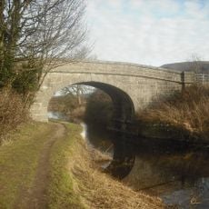
Nelson's Bridge Over Kendal/Lancaster Canal
3.4 km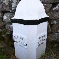
Boundary Post At Junction Of B6384 With Paradise Lane Between Ackenthwaite And Whasset
638 m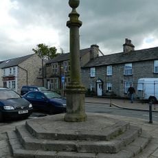
Market Cross
129 m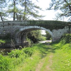
Kendal/Lancaster Canal Garth's Bridge Over Kendal
3.3 km
Beetham Hall And Attached Outbuildings
2.5 km
Footbridge over River Bela approximately 400 metres east-north-east of Milnthorpe Bridge
560 m
Boundary Stone At The Junction Off White Lane With The Woodhouse To Viver Road Approximately 300 Yards North Of Woodhouse
2.6 km
Boundary Stone At Entrance To Hawbarrow House
1 km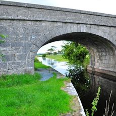
Duke's Bridge Over Kendal/Lancaster Canal 170 Metres East North East Of Townend Farm
3.4 km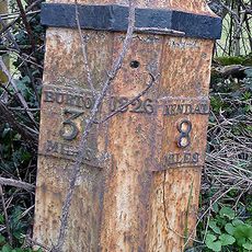
Milepost 80 Metres South Of Entrance To Green Close
3.5 km
Boundary Stone At The Junction Of Rowell Lane With Woodhouse To Ackenthwaite Road Approximately 600 Yards South Of Woodhouse
1.7 km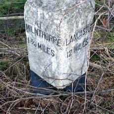
Milestone Approximately 350 Metres North West Of Junction With Pye's Bridge Lane
2.7 km
Milestone Approximately 150 Meters North North West Of Junction With Paradise Lane North Of Beetham
1.3 km
Milestone Approximately 200 Yards South West Of Lane Farm
3.3 km
Milepost, Haverflatts, opp. St Anthony's House
910 m
Milepost, Leasgill, by No.2 Milestone Cottage, High rise House
2.5 km
Guidestone, Levens Hall
3.3 kmRecenzje
Odwiedzili Państwo to miejsce? Kliknijcie gwiazdki, aby je ocenić i podzielić się swoimi zdjęciami lub doświadczeniem ze społecznością. Wypróbuj teraz! Możesz anulować w każdej chwili.
Odkrywaj ukryte skarby w każdej przygodzie!
Od urokliwych małych kawiarni po ukryte punkty widokowe – ucieknij od tłumów i znajdź miejsca, które naprawdę do Ciebie pasują. Nasza aplikacja ułatwia wszystko: wyszukiwanie głosowe, sprytne filtry, zoptymalizowane trasy i autentyczne wskazówki od podróżników z całego świata. Pobierz teraz i przeżyj przygodę na swoim telefonie!

Nowe podejście do odkrywania turystyki❞
— Le Figaro
Wszystkie miejsca warte odkrycia❞
— France Info
Wycieczka na miarę w zaledwie kilka kliknięć❞
— 20 Minutes