
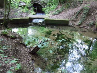
Friesenquelle SW von Kasendorf, Geotop in Landkreis Kulmbach in Bavaria, Germany
Lokalizacja: Kasendorf
Wysokość nad poziomem morza: 410 m
Długość: 10 m
Szerokość: 10 m
Strona internetowa: http://umweltatlas.bayern.de/mapapps/resources/reports/geotope/generateBericht.pdf?additionallayerfieldvalue=477Q002
Współrzędne GPS: 50.03176,11.34266
Najnowsza aktualizacja: 3 marca 2025 o 18:37
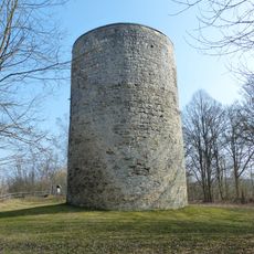
Wachturm
682 m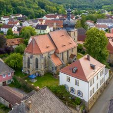
Johanneskirche Kasendorf
818 m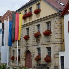
Rathaus
742 m
Magnus-Tower
694 m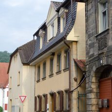
Cultural heritage D-4-77-124-3 in Kasendorf
800 m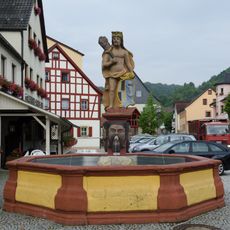
Brunnen
718 m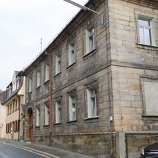
Rentamt
820 m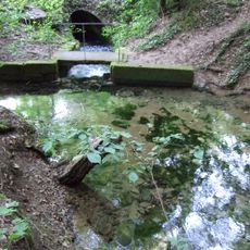
Albtraufhänge zwischen Görau und Thurnau
652 m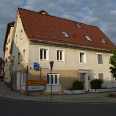
Cultural heritage D-4-77-124-13 in Kasendorf
736 m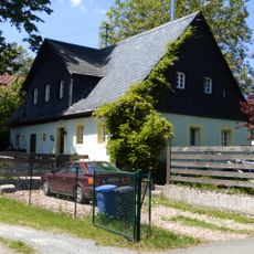
Cultural heritage D-4-77-124-56 in Kasendorf
1.8 km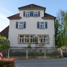
Schule
2.3 km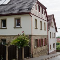
Cultural heritage D-4-77-124-7 in Kasendorf
853 m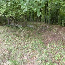
Mauer
751 m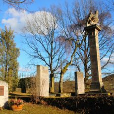
Kriegerdenkmal für die Gefallenen von 1914/18
1.1 km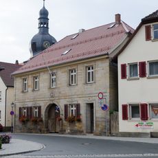
Cultural heritage D-4-77-124-11 in Kasendorf
776 m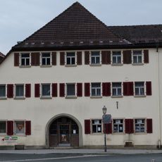
Gasthaus
757 m
Baudenkmal
713 m
Cultural heritage D-4-77-124-10 in Kasendorf
784 m
Cultural heritage D-4-77-124-1 in Kasendorf
707 m
Cultural heritage D-4-77-124-63 in Kasendorf
737 m
Pfarrhaus
807 m
Cultural heritage D-4-77-124-16 in Kasendorf
679 m
Wohnhaus
754 m
Gasthaus
699 m
Mühle
908 m
Pfarrscheune
803 m
Wohnstallhaus
1.7 km
Wohnhaus
835 mRecenzje
Odwiedzili Państwo to miejsce? Kliknijcie gwiazdki, aby je ocenić i podzielić się swoimi zdjęciami lub doświadczeniem ze społecznością. Wypróbuj teraz! Możesz anulować w każdej chwili.
Odkrywaj ukryte skarby w każdej przygodzie!
Od urokliwych małych kawiarni po ukryte punkty widokowe – ucieknij od tłumów i znajdź miejsca, które naprawdę do Ciebie pasują. Nasza aplikacja ułatwia wszystko: wyszukiwanie głosowe, sprytne filtry, zoptymalizowane trasy i autentyczne wskazówki od podróżników z całego świata. Pobierz teraz i przeżyj przygodę na swoim telefonie!

Nowe podejście do odkrywania turystyki❞
— Le Figaro
Wszystkie miejsca warte odkrycia❞
— France Info
Wycieczka na miarę w zaledwie kilka kliknięć❞
— 20 Minutes