
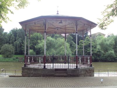
Chester Bandstand, bandstand in Chester, England
Lokalizacja: Cheshire West and Chester
Współrzędne GPS: 53.18794,-2.88530
Najnowsza aktualizacja: 2 października 2025 o 14:03

Chester Roman Amphitheatre
181 m
St John the Baptist's Church, Chester
124 m
Dee House
159 m
Capital House, Chester
165 m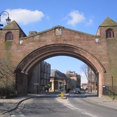
Newgate, Chester
227 m
Anchorite's Cell, Chester
52 m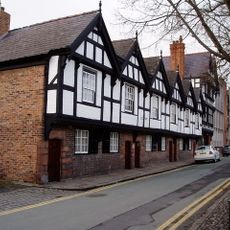
Nine Houses, Chester
194 m
Old Bishop's Palace, Chester
107 m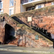
Recorder's Steps
161 m
Shipgate
200 m
Barnaby's Tower
152 m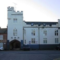
Albion Mews
227 m
St John's Rectory, Chester
230 m
4, Park Street
204 m
12 St John Street including fragment of Deva Roman fortress wall
236 m
St John's Church (ruined portions)
132 m
South East Angle Tower And Wall Of Roman Legionary Fortress
245 m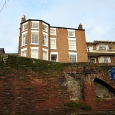
19, City Walls
208 m
Old Newgate
238 m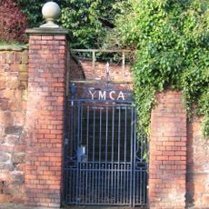
Garden wall to the Old Palace, with gates and overthrow
59 m
House Of Shelter
202 m
St Johns Church Hall
238 m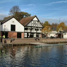
Grosvenor Rowing Club Boathouse (The East Boathouse)
224 m
12 And 13, The Groves
116 m
Chester Visitor Centre
196 m
Repositioned Roman remains in The Roman Gardens
180 m
1-7, Lumley Place
226 m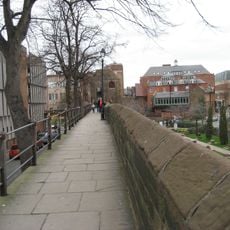
Part Of City Wall From The Newgate To Barnabys Tower
180 mOdwiedzili Państwo to miejsce? Kliknijcie gwiazdki, aby je ocenić i podzielić się swoimi zdjęciami lub doświadczeniem ze społecznością. Wypróbuj teraz! Możesz anulować w każdej chwili.
Odkrywaj ukryte skarby w każdej przygodzie!
Od urokliwych małych kawiarni po ukryte punkty widokowe – ucieknij od tłumów i znajdź miejsca, które naprawdę do Ciebie pasują. Nasza aplikacja ułatwia wszystko: wyszukiwanie głosowe, sprytne filtry, zoptymalizowane trasy i autentyczne wskazówki od podróżników z całego świata. Pobierz teraz i przeżyj przygodę na swoim telefonie!

Nowe podejście do odkrywania turystyki❞
— Le Figaro
Wszystkie miejsca warte odkrycia❞
— France Info
Wycieczka na miarę w zaledwie kilka kliknięć❞
— 20 Minutes