
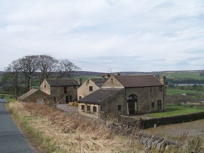
Fox Holes Farmhouse, Attached Farmbuildings And Linking Walls
Fox Holes Farmhouse, Attached Farmbuildings And Linking Walls, agricultural structure in Bradfield, Sheffield, South Yorkshire, UK
Lokalizacja: Bradfield
Współrzędne GPS: 53.41664,-1.60469
Najnowsza aktualizacja: 29 marca 2025 o 18:36
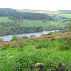
Dale Dike Reservoir
2.4 km
Church of St Nicholas, Bradfield
1.4 km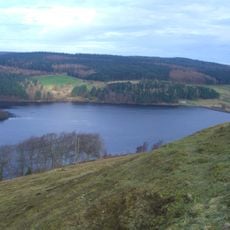
Strines Reservoir
3.5 km
Sugworth Hall
3.5 km
Hallfield House
3 km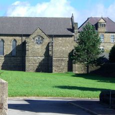
Monastery of The Holy Spirit, Sheffield
2.4 km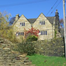
Onesacre Hall
4.1 km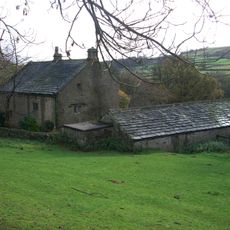
Fair House Farmhouse
755 m
Loxley United Reformed Church
4 km
Underbank Chapel
4.1 km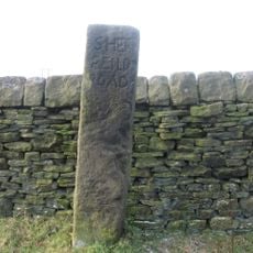
Moscar Cross
4.3 km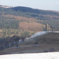
Sugworth Tower
3.6 km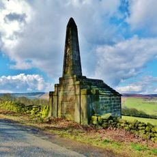
Edgefield Monument
857 m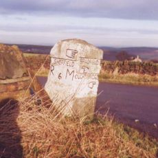
Guidepillar At Junction With Lumb Lane, Onesmoor Bottom And Onesacre Road On West Side Of Junction
2.9 km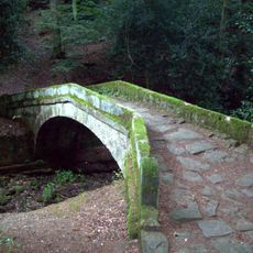
Glen Howe Packhorse Bridge, Approximately 100 Metres Upstream Of Cottage
4.3 km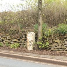
Mile Post Approximately 90 Metres West Of Driveway To Swinglee Ford
3.7 km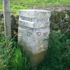
Guide Pillar At Junction With Brightolmlee Road And Peat Pits Lane On South Side Of Junction
3 km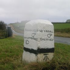
Guide Pillar At Junction With Burnt Hill Lane, East Side Of Junction
2.6 km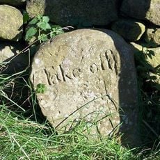
Take Off Stone Approx 85 Metres To North Of Strines Public House
4.1 km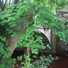
Packhorse Bridge Over River Loxley At Croft House
4 km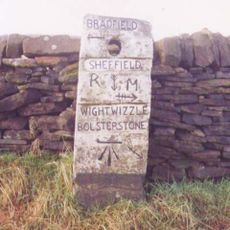
Guide Pillar At Junction With Walker Edge, Green Lane And White Lee Lane, On South West Side Of Junction
3.8 km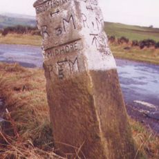
Guide Pillar At Junction With Onesmoor Road On West Side Of Junction
3.2 km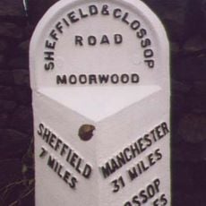
Mile Post Approximately 140 Metres East Of Black Rock
3.6 km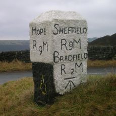
Guide Pillar At Junction With Mortimer Road On South Side Of Junction
4.1 km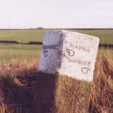
Guide Pillar At Junction With Peat Pits Lane, On North East Side Of Junction
2.4 km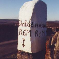
Guide Pillar At Handsome Cross On North Side Of Road
3 km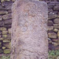
Guidestone, Wet Shaw Lane, jct with Stake Hill Road
2 km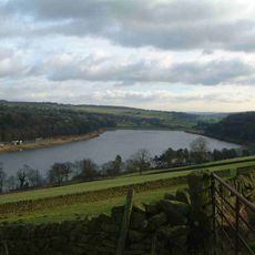
Damflask Reservoir
1.4 kmOdwiedzili Państwo to miejsce? Kliknijcie gwiazdki, aby je ocenić i podzielić się swoimi zdjęciami lub doświadczeniem ze społecznością. Wypróbuj teraz! Możesz anulować w każdej chwili.
Odkrywaj ukryte skarby w każdej przygodzie!
Od urokliwych małych kawiarni po ukryte punkty widokowe – ucieknij od tłumów i znajdź miejsca, które naprawdę do Ciebie pasują. Nasza aplikacja ułatwia wszystko: wyszukiwanie głosowe, sprytne filtry, zoptymalizowane trasy i autentyczne wskazówki od podróżników z całego świata. Pobierz teraz i przeżyj przygodę na swoim telefonie!

Nowe podejście do odkrywania turystyki❞
— Le Figaro
Wszystkie miejsca warte odkrycia❞
— France Info
Wycieczka na miarę w zaledwie kilka kliknięć❞
— 20 Minutes