
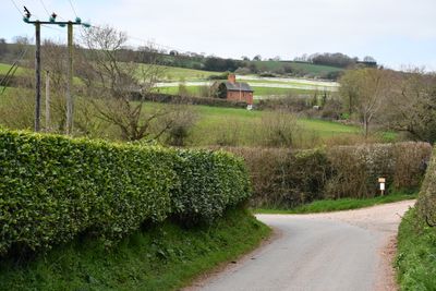
Kerswell Farmhouse, thatched farmhouse in Exminster, Teignbridge, Devon, UK
Lokalizacja: Exminster
Współrzędne GPS: 50.67109,-3.51631
Najnowsza aktualizacja: 14 marca 2025 o 16:20
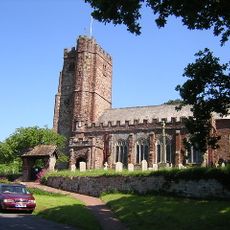
Church of St Andrew, Kenn
1.3 km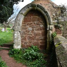
Medieval Masonry Built Into Wall And Shed North East Of The Church Of St Andrew
1.3 km
Pump Immediately South East Of Church House
1.4 km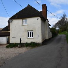
Church House
1.4 km
Lantern Cottage
1.4 km
Cottage Adjoining Bay Bush At The North West
1.3 km
Blackalls
931 m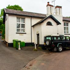
Village School And Pumphouse
1.3 km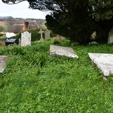
Group Of 3 Elliott Chest Tombs About 10 Metres North Of The Centre Of North Aisle Of The Church Of St Andrew
1.3 km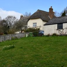
Chappel Court
1.3 km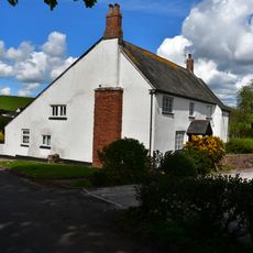
Towsington Barton
1.1 km
Mary Tucker Chest Tomb About 3 Metres South Of The Tower Of The Church Of The Church Of St Andrew
1.4 km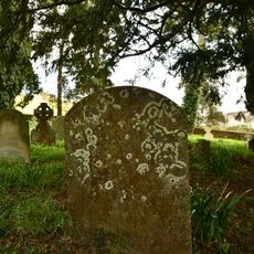
Sarel Headstone About 7 Metres South East Of Chancel Of The Church Of St Andrew
1.3 km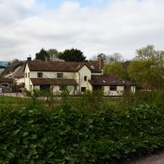
Damerosehay Cottage
809 m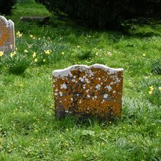
Amy Gibson Headstone About 15 Metres East Of Chancel Of The Church Of St Andrew
1.3 km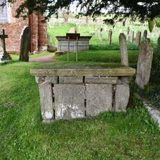
Simon Tanner Chest Tomb About 9 Metres South East Of Chancel Of Church Of St Andrew
1.4 km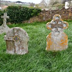
Pair Of Mayne Headstones About 24 Metres North Of The West Tower Of The Church Of St Andrew
1.3 km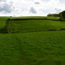
Earthwork enclosure S of Blackall's Copse
506 m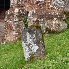
Volcanic Trap Headstone About 1 Metre South East Of The Porch Of Church Of St Andrew
1.4 km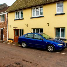
4, Pye Corner
1.4 km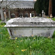
Ley Family Chest Tomb About 37 Metres North Of The Stair Turret Of The Church Of St Andrew
1.3 km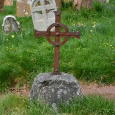
Elizabeth Dewdney Headstone About 19 Metres North Of The Vestry Of The Church Of St Andrew
1.3 km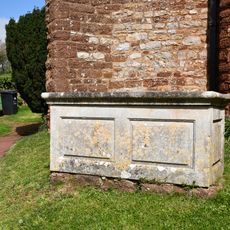
Group Of 3 Chest Tombs About 6 Metres South Of The Centre Of Aisle Of The Church Of St Andrew
1.4 km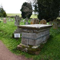
Parr Chest Tomb About 1.5 Metres South East Of Chancel Of The Church Of St Andrew
1.3 km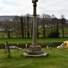
Churchyard Cross About 12 Metres South Of Church Of St Andrew
1.4 km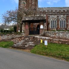
Lychgate to Church of St Andrews and Flight of Steps to South
1.4 km
Chest Tomb Immediately South Of West End Of South Aisle Of Church Of St Andrew
1.3 km
James Eddy Grave Marker About 10 Metres North East Of The Vestry Of The Church Of St Andrew
1.3 kmOdwiedzili Państwo to miejsce? Kliknijcie gwiazdki, aby je ocenić i podzielić się swoimi zdjęciami lub doświadczeniem ze społecznością. Wypróbuj teraz! Możesz anulować w każdej chwili.
Odkrywaj ukryte skarby w każdej przygodzie!
Od urokliwych małych kawiarni po ukryte punkty widokowe – ucieknij od tłumów i znajdź miejsca, które naprawdę do Ciebie pasują. Nasza aplikacja ułatwia wszystko: wyszukiwanie głosowe, sprytne filtry, zoptymalizowane trasy i autentyczne wskazówki od podróżników z całego świata. Pobierz teraz i przeżyj przygodę na swoim telefonie!

Nowe podejście do odkrywania turystyki❞
— Le Figaro
Wszystkie miejsca warte odkrycia❞
— France Info
Wycieczka na miarę w zaledwie kilka kliknięć❞
— 20 Minutes