Aldfield

Zaloguj się na swoje konto

AroundUs to mapa interesujących miejsc tworzona przez społeczność, zbudowana przez ciekawskich odkrywców takich jak Ty. Rozwija się z każdą opinią, historią i zdjęciem, które udostępniasz.
Zaloguj się, aby zapisywać ulubione miejsca, dodawać lokalizacje i tworzyć spersonalizowane trasy.
Kontynuując, akceptujesz nasze Warunki korzystania oraz Politykę prywatności
Dodaj do kolekcji
Mapa
Zaproponuj zmianę
Udostępnij

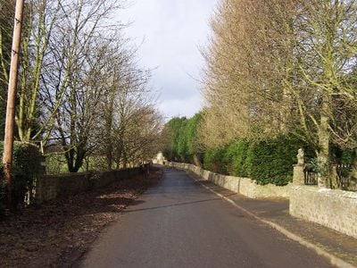
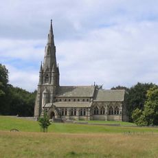
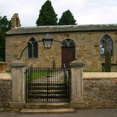
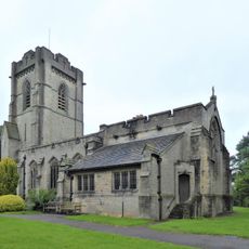
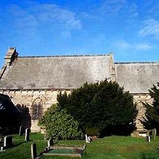
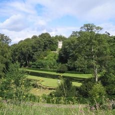
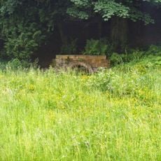
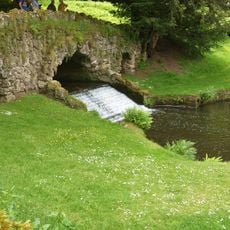
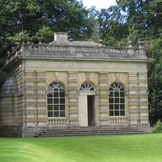
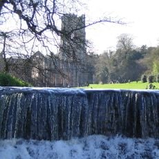
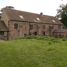
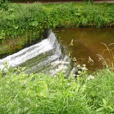
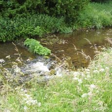
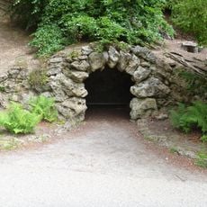
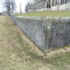
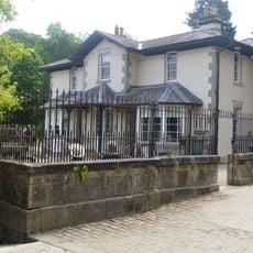
Aldfield, village and civil parish in the Harrogate district of North Yorkshire, England

Lokalizacja: North Yorkshire

Współrzędne GPS: 54.11953,-1.60089

Najnowsza aktualizacja: 12 marca 2025 o 00:09

W okolicy tego miejsca
Pokaż całą mapę
Studley Royal Park
Wielka Brytania

Studley Royal Park

1.9 km
Fountains Hall
Wielka Brytania

Fountains Hall

1.4 km
Grantley Hall
Wielka Brytania

Grantley Hall

2 km
St Mary's Church, Studley Royal
Wielka Brytania

St Mary's Church, Studley Royal

1.4 km
Church of Saint Lawrence
Wielka Brytania

Church of Saint Lawrence

409 m
Church of St Cuthbert and St Oswald
Wielka Brytania

Church of St Cuthbert and St Oswald

2.1 km
Studley Royal Park including the Ruins of Fountains Abbey
Wielka Brytania

Studley Royal Park including the Ruins of Fountains Abbey

1.9 km
Statue on West Side of North Crescent Pond
Wielka Brytania

Statue on West Side of North Crescent Pond

1.9 km
Statue of Neptune and Pedestal in Centre of Moon Pond
Wielka Brytania

Statue of Neptune and Pedestal in Centre of Moon Pond

1.9 km
St Michael & All Angels
Wielka Brytania

St Michael & All Angels

2 km
The Octagon Tower
Wielka Brytania

The Octagon Tower

1.9 km
Temple Of Piety On East Side Of Moon Pond
Wielka Brytania

Temple Of Piety On East Side Of Moon Pond

2 km
The Wrestlers
Wielka Brytania

The Wrestlers

1.8 km
Robin Hood's Well
Wielka Brytania

Robin Hood's Well

1.8 km
Rustic Bridge At South End Of The Canal, With Culvert And Arch To Reservoir
Wielka Brytania

Rustic Bridge At South End Of The Canal, With Culvert And Arch To Reservoir

2 km
Banqueting House Approximately 100 Metres To West Of The Canal
Wielka Brytania

Banqueting House Approximately 100 Metres To West Of The Canal

1.7 km
Quebec Monument
Wielka Brytania

Quebec Monument

2 km
The Obelisk Approximately 80 Metres West Of Church Of St Mary
Wielka Brytania

The Obelisk Approximately 80 Metres West Of Church Of St Mary

1.3 km
Mile Post Approximately 50 Metres North Of The Black A Moor Public House
Wielka Brytania

Mile Post Approximately 50 Metres North Of The Black A Moor Public House

2 km
Tunnel Approximately 20 Metres West Of The Octagon, With Flanking Wall Attached To South
Wielka Brytania

Tunnel Approximately 20 Metres West Of The Octagon, With Flanking Wall Attached To South

1.9 km
Weir At North End Of The Canal, With Piers, Fishing Pavilions And Balustrade
Wielka Brytania

Weir At North End Of The Canal, With Piers, Fishing Pavilions And Balustrade

1.9 km
Abbey Mill
Wielka Brytania

Abbey Mill

1.6 km
Weir On River Skell Approximately 120 Metres West Of The Reservoir
Wielka Brytania

Weir On River Skell Approximately 120 Metres West Of The Reservoir

2 km
Weir On River Skell Approximately 10 Metres East Of The Infirmary At Fountains Abbey
Wielka Brytania

Weir On River Skell Approximately 10 Metres East Of The Infirmary At Fountains Abbey

1.8 km
Grotto On North Side Of Reservoir
Wielka Brytania

Grotto On North Side Of Reservoir

2 km
The Canal Gates And Flanking Walls On West Side Of The Lake
Wielka Brytania

The Canal Gates And Flanking Walls On West Side Of The Lake

1.8 km
Boundary Wall With West And South Gates, Church Of St Mary
Wielka Brytania

Boundary Wall With West And South Gates, Church Of St Mary

1.3 km
Stewards House, Now National Trust Restaurant And Shop
Wielka Brytania

Stewards House, Now National Trust Restaurant And Shop

1.8 km
Pokaż całą mapę

Recenzje

Odwiedzili Państwo to miejsce? Kliknijcie gwiazdki, aby je ocenić i podzielić się swoimi zdjęciami lub doświadczeniem ze społecznością. Wypróbuj teraz! Możesz anulować w każdej chwili.

« Aldfield - village and civil parish in the Harrogate district of North Yorkshire, England » dostarcza Around Us (pl.aroundus.com). Obrazy i teksty pochodzą z projektu Wikimedia na licencji Creative Commons. Masz prawo kopiować, dystrybuować i modyfikować kopie tej strony, pod warunkiem przestrzegania licencji, o ile ta informacja jest wyraźnie widoczna.

Odkrywaj ukryte skarby w każdej przygodzie!

Od urokliwych małych kawiarni po ukryte punkty widokowe – ucieknij od tłumów i znajdź miejsca, które naprawdę do Ciebie pasują. Nasza aplikacja ułatwia wszystko: wyszukiwanie głosowe, sprytne filtry, zoptymalizowane trasy i autentyczne wskazówki od podróżników z całego świata. Pobierz teraz i przeżyj przygodę na swoim telefonie!

Around Us App Screenshot

Nowe podejście do odkrywania turystyki

Le Figaro

Wszystkie miejsca warte odkrycia

France Info

Wycieczka na miarę w zaledwie kilka kliknięć

20 Minutes