Sedgwick

Zaloguj się na swoje konto

AroundUs to mapa interesujących miejsc tworzona przez społeczność, zbudowana przez ciekawskich odkrywców takich jak Ty. Rozwija się z każdą opinią, historią i zdjęciem, które udostępniasz.
Zaloguj się, aby zapisywać ulubione miejsca, dodawać lokalizacje i tworzyć spersonalizowane trasy.
Kontynuuj z Google
Kontynuuj z Apple
Kontynuuj z X
Kontynuuj z Facebook
Kontynuuj z e-mailem
Kontynuując, akceptujesz nasze Warunki korzystania oraz Politykę prywatności
Załóż konto
Dodaj do kolekcji
Mapa
Zaproponuj zmianę
Udostępnij

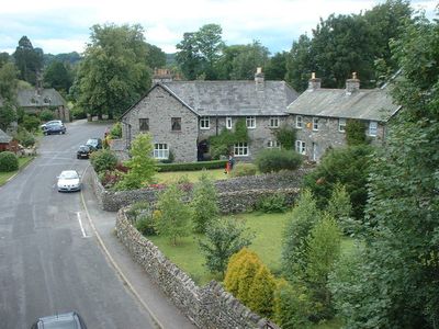
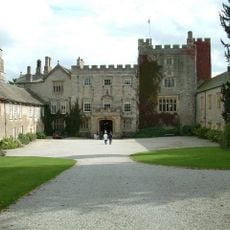
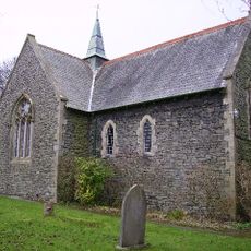
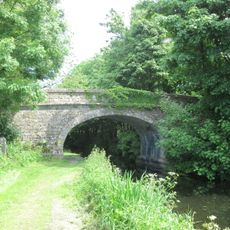
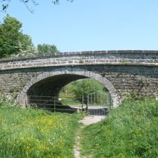
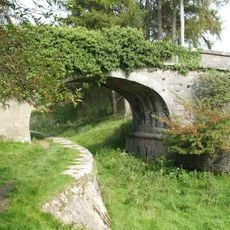
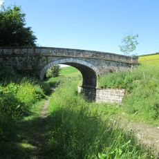
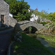
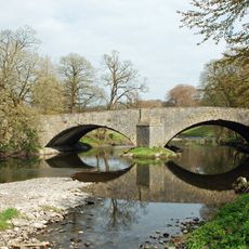
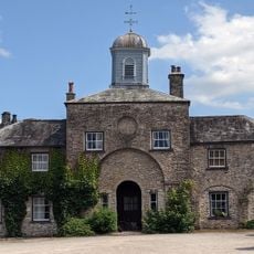
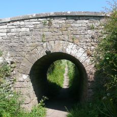
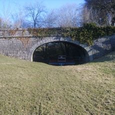
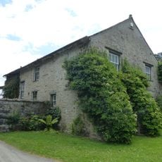
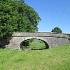
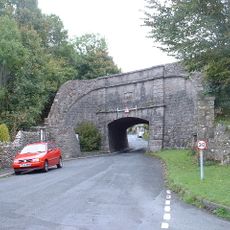
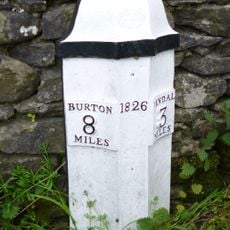
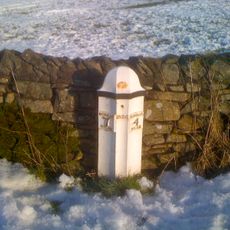
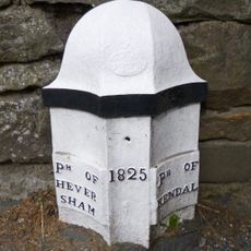
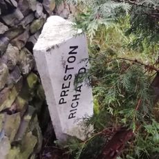
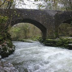
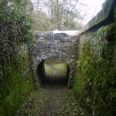
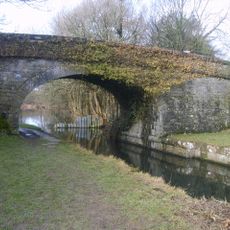
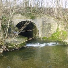
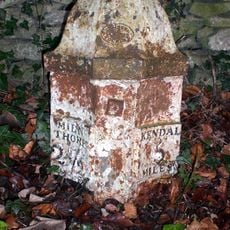
Sedgwick, village and civil parish in Cumbria, UK

Lokalizacja: Westmorland and Furness

Współrzędne GPS: 54.27319,-2.74834

Najnowsza aktualizacja: 11 marca 2025 o 07:43

Zdjęcia
W okolicy tego miejsca
Sizergh Castle
Wielka Brytania

Sizergh Castle

2 km
Sedgwick House
Wielka Brytania

Sedgwick House

511 m
St Thomas' Church, Crosscrake
Wielka Brytania

St Thomas' Church, Crosscrake

1.1 km
Field End Bridge Over Kendal Lancaster Canal Ngr 5259 8499
Wielka Brytania

Field End Bridge Over Kendal Lancaster Canal Ngr 5259 8499

2.1 km
Horse Park Bridge Over Lancaster/Kendal Canal
Wielka Brytania

Horse Park Bridge Over Lancaster/Kendal Canal

906 m
Stainton Crossing Bridge Over Kendal Lancaster Canal Ngr 5205 8543
Wielka Brytania

Stainton Crossing Bridge Over Kendal Lancaster Canal Ngr 5205 8543

1.4 km
Larkrigg Hall Bridge Over Lancaster/Kendal Canal
Wielka Brytania

Larkrigg Hall Bridge Over Lancaster/Kendal Canal

1.6 km
Lancaster Kendal Canal, Sellet Hall Bridge Over Lancaster/Kendal Canal
Wielka Brytania

Lancaster Kendal Canal, Sellet Hall Bridge Over Lancaster/Kendal Canal

1.3 km
Packhorse bridge at Stainton
Wielka Brytania

Packhorse bridge at Stainton

1.3 km
Levens Bridge
Wielka Brytania

Levens Bridge

2.3 km
Stables and attached barn to south west of Sizergh Castle
Wielka Brytania

Stables and attached barn to south west of Sizergh Castle

2 km
Accommodation Bridge Over Sunken Horse Path 100 Yds East-South-East Of West Portal Of Hincaster Tunnel
Wielka Brytania

Accommodation Bridge Over Sunken Horse Path 100 Yds East-South-East Of West Portal Of Hincaster Tunnel

1.6 km
Garden wall, gatepiers and summer house to south of Sizergh Castle
Wielka Brytania

Garden wall, gatepiers and summer house to south of Sizergh Castle

1.9 km
Lancaster Kendal Canal, Sedgwick Hill Bridge Over Lancaster/Kendal Canal
Wielka Brytania

Lancaster Kendal Canal, Sedgwick Hill Bridge Over Lancaster/Kendal Canal

296 m
House and outbuildings forming north side courtyard south west of Sizergh Castle
Wielka Brytania

House and outbuildings forming north side courtyard south west of Sizergh Castle

2 km
Lancaster Kendal Canal, Crowpark Bridge Over Lancaster/Kendal Canal
Wielka Brytania

Lancaster Kendal Canal, Crowpark Bridge Over Lancaster/Kendal Canal

2.4 km
Sedgwick aqueduct
Wielka Brytania

Sedgwick aqueduct

370 m
Walls, Gate Piers, Fencing And Gates To West Of Sizergh Castle
Wielka Brytania

Walls, Gate Piers, Fencing And Gates To West Of Sizergh Castle

2 km
Milestone Approximately 250 Yards North Of Punch Bowl Public House
Wielka Brytania

Milestone Approximately 250 Yards North Of Punch Bowl Public House

2.2 km
Milestone Approximately 150 Yards North West Of Strorth End Farmhouse Near Half Penny Turn Off
Wielka Brytania

Milestone Approximately 150 Yards North West Of Strorth End Farmhouse Near Half Penny Turn Off

2 km
Boundary Post Approximately 200 Yards North Of Punch Bowl Public House
Wielka Brytania

Boundary Post Approximately 200 Yards North Of Punch Bowl Public House

2.1 km
Boundary Stone Approximately 30 Yards North West Of Storth End Farmhouse Near Summerlands
Wielka Brytania

Boundary Stone Approximately 30 Yards North West Of Storth End Farmhouse Near Summerlands

2 km
Hawes Bridge
Wielka Brytania

Hawes Bridge

2.4 km
West Portal To Hincaster Tunnel
Wielka Brytania

West Portal To Hincaster Tunnel

1.6 km
Railway Arch Over Sunken Horse Path And Retaining Walls To South West Of East Portal In Hincaster Tunnel
Wielka Brytania

Railway Arch Over Sunken Horse Path And Retaining Walls To South West Of East Portal In Hincaster Tunnel

1.5 km
Stainton Bridge End Bridge Over Kendal Lancaster Canal Ngr 5242 8526
Wielka Brytania

Stainton Bridge End Bridge Over Kendal Lancaster Canal Ngr 5242 8526

1.7 km
Stainton Aqueduct carrying Kendal/Lancaster Canal over Stainton Beck and public footpath NGR5226 8542
Wielka Brytania

Stainton Aqueduct carrying Kendal/Lancaster Canal over Stainton Beck and public footpath NGR5226 8542

1.5 km
Milepost, slip road from A590, S end of Levens Bridge, N of Lawrence House Farm
Wielka Brytania

Milepost, slip road from A590, S end of Levens Bridge, N of Lawrence House Farm

2.1 km
Pokaż całą mapę
Recenzje

Odwiedzili Państwo to miejsce? Kliknijcie gwiazdki, aby je ocenić i podzielić się swoimi zdjęciami lub doświadczeniem ze społecznością. Wypróbuj teraz! Możesz anulować w każdej chwili.

« Sedgwick - village and civil parish in Cumbria, UK » dostarcza Around Us (pl.aroundus.com). Obrazy i teksty pochodzą z projektu Wikimedia na licencji Creative Commons. Masz prawo kopiować, dystrybuować i modyfikować kopie tej strony, pod warunkiem przestrzegania licencji, o ile ta informacja jest wyraźnie widoczna.

Odkrywaj ukryte skarby w każdej przygodzie!

Od urokliwych małych kawiarni po ukryte punkty widokowe – ucieknij od tłumów i znajdź miejsca, które naprawdę do Ciebie pasują. Nasza aplikacja ułatwia wszystko: wyszukiwanie głosowe, sprytne filtry, zoptymalizowane trasy i autentyczne wskazówki od podróżników z całego świata. Pobierz teraz i przeżyj przygodę na swoim telefonie!

Around Us App Screenshot

Nowe podejście do odkrywania turystyki

Le Figaro

Wszystkie miejsca warte odkrycia

France Info

Wycieczka na miarę w zaledwie kilka kliknięć

20 Minutes