Darton

Zaloguj się na swoje konto

AroundUs to mapa interesujących miejsc tworzona przez społeczność, zbudowana przez ciekawskich odkrywców takich jak Ty. Rozwija się z każdą opinią, historią i zdjęciem, które udostępniasz.
Zaloguj się, aby zapisywać ulubione miejsca, dodawać lokalizacje i tworzyć spersonalizowane trasy.
Kontynuując, akceptujesz nasze Warunki korzystania oraz Politykę prywatności

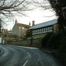
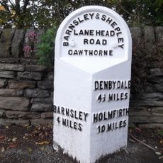
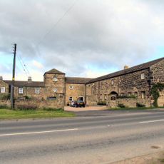
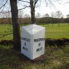
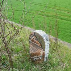
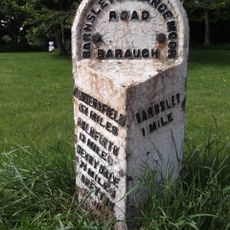
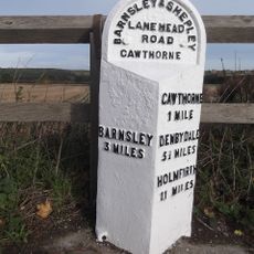
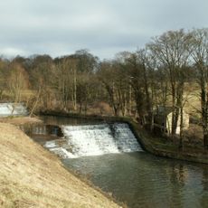
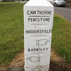
Darton, village in the United Kingdom

Lokalizacja: Barnsley

Współrzędne GPS: 53.58500,-1.53250

Najnowsza aktualizacja: 7 marca 2025 o 20:13

W okolicy tego miejsca
Pokaż całą mapę
Woolley Hall
Wielka Brytania

Woolley Hall

3.6 km
Church In Bretton Park
Wielka Brytania

Church In Bretton Park

3.6 km
Church of All Saints
Wielka Brytania

Church of All Saints

64 m
Church of St Paul
Wielka Brytania

Church of St Paul

3.6 km
Church of St Peter, Woolley
Wielka Brytania

Church of St Peter, Woolley

3.2 km
Church of All Saints
Wielka Brytania

Church of All Saints

3.2 km
Church of All Hallows
Wielka Brytania

Church of All Hallows

3.6 km
Rock Well approximately 50 metres west of Dam Head Cottages in Bretton Park
Wielka Brytania

Rock Well approximately 50 metres west of Dam Head Cottages in Bretton Park

3.2 km
Milepost Approximately 600 Metres South Of Junction With Park Road
Wielka Brytania

Milepost Approximately 600 Metres South Of Junction With Park Road

3.7 km
Archway Lodge In Bretton Park Including Flanking Walls
Wielka Brytania

Archway Lodge In Bretton Park Including Flanking Walls

3.8 km
Bridge over The Cut (east end) in Bretton Park
Wielka Brytania

Bridge over The Cut (east end) in Bretton Park

3.4 km
Birthwaite Hall Including Attached Range To West
Wielka Brytania

Birthwaite Hall Including Attached Range To West

1.1 km
Barugh Bridge
Wielka Brytania

Barugh Bridge

1.3 km
Milepost Approximately 500 Metres North Of Junction With Barugh Green Lane
Wielka Brytania

Milepost Approximately 500 Metres North Of Junction With Barugh Green Lane

1.8 km
Milepost Aproximately 500 Metres West Of Junction With Claycliffe Road
Wielka Brytania

Milepost Aproximately 500 Metres West Of Junction With Claycliffe Road

2 km
Victoria Jubilee Museum
Wielka Brytania

Victoria Jubilee Museum

3.2 km
Footbridge Over Pond Approximately 600 Metres North East Of Cascade Bridge In Cannon Hall Park
Wielka Brytania

Footbridge Over Pond Approximately 600 Metres North East Of Cascade Bridge In Cannon Hall Park

3.7 km
Milestone Opposite Number 9 Malt Kiln
Wielka Brytania

Milestone Opposite Number 9 Malt Kiln

3.2 km
Windhill Gate Farmhouse An Attached Outbuildings
Wielka Brytania

Windhill Gate Farmhouse An Attached Outbuildings

1.8 km
Milestone Approximately 200 Metres North Of Junction With Spring Lane
Wielka Brytania

Milestone Approximately 200 Metres North Of Junction With Spring Lane

2.8 km
Milestone Approximately 100 Metres South Of Track To Snapethorpe Farm
Wielka Brytania

Milestone Approximately 100 Metres South Of Track To Snapethorpe Farm

1.3 km
Milepost Approximately 150 Metres West Of Rowland Road
Wielka Brytania

Milepost Approximately 150 Metres West Of Rowland Road

3 km
Guide Post Opposite East End Of Kirkfield Close
Wielka Brytania

Guide Post Opposite East End Of Kirkfield Close

3.1 km
Footbridge in Menagerie Wood approximately 200 metres south east of Cascade Bridge in Bretton Park
Wielka Brytania

Footbridge in Menagerie Wood approximately 200 metres south east of Cascade Bridge in Bretton Park

3.6 km
Milestone Approximately 600 Metres East Of Barnby Hall Farm
Wielka Brytania

Milestone Approximately 600 Metres East Of Barnby Hall Farm

2.2 km
Overflow to Lower Lake, 3 weirs to east side of dam and pump house adjacent to Middle Weir in Bretton Park
Wielka Brytania

Overflow to Lower Lake, 3 weirs to east side of dam and pump house adjacent to Middle Weir in Bretton Park

3.3 km
Milestone, on green just off A635 at Cawthorne
Wielka Brytania

Milestone, on green just off A635 at Cawthorne

3.1 km
Milestone, third of a mile west of TI jct of A635/A637 (Redbrook)
Wielka Brytania

Milestone, third of a mile west of TI jct of A635/A637 (Redbrook)

2 km
Pokaż całą mapę

Recenzje

Odwiedzili Państwo to miejsce? Kliknijcie gwiazdki, aby je ocenić i podzielić się swoimi zdjęciami lub doświadczeniem ze społecznością. Wypróbuj teraz! Możesz anulować w każdej chwili.

« Darton - village in the United Kingdom » dostarcza Around Us (pl.aroundus.com). Obrazy i teksty pochodzą z projektu Wikimedia na licencji Creative Commons. Masz prawo kopiować, dystrybuować i modyfikować kopie tej strony, pod warunkiem przestrzegania licencji, o ile ta informacja jest wyraźnie widoczna.

Odkrywaj ukryte skarby w każdej przygodzie!

Od urokliwych małych kawiarni po ukryte punkty widokowe – ucieknij od tłumów i znajdź miejsca, które naprawdę do Ciebie pasują. Nasza aplikacja ułatwia wszystko: wyszukiwanie głosowe, sprytne filtry, zoptymalizowane trasy i autentyczne wskazówki od podróżników z całego świata. Pobierz teraz i przeżyj przygodę na swoim telefonie!

Around Us App Screenshot

Nowe podejście do odkrywania turystyki

Le Figaro

Wszystkie miejsca warte odkrycia

France Info

Wycieczka na miarę w zaledwie kilka kliknięć

20 Minutes