
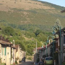
Villeneuve-lès-Charnod, former commune in Jura, France
Lokalizacja: canton of Saint-Julien
Lokalizacja: Jura
Lokalizacja: arrondissement of Lons-le-Saunier
Graniczy z: Germagnat, Montagna-le-Templier, Charnod, Lains, Montfleur
Współrzędne GPS: 46.33667,5.47833
Najnowsza aktualizacja: 3 marca 2025 o 05:41
Mont Myon
6.2 km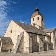
Église Saint-Hymetière
6.5 km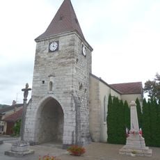
Croix d'Aromas
5 km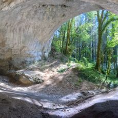
Caborne du Bœuf
5.4 km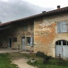
Moulin de Pont des Vents
2.8 km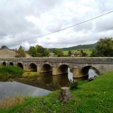
Pont des Vents
2.7 km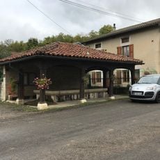
Fontaine-lavoir de Villechantria
5.1 km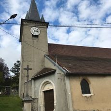
Église Sainte-Catherine de Montfleur
3.3 km
Montfleur
3.3 km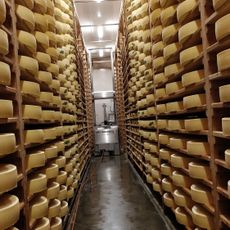
Coopérative fromagère des Erythrônes
5.2 km
Église Saint-Germain de Germagnat
3.7 km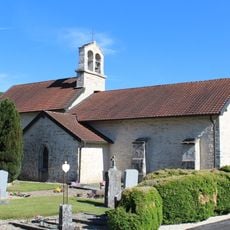
Église Sainte-Madeleine de Pouillat
4 km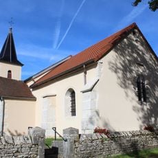
Église Saints-Pierre-et-Paul de Charnod
1 km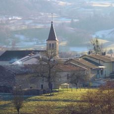
Église Saint-Martin de Cornod
6.1 km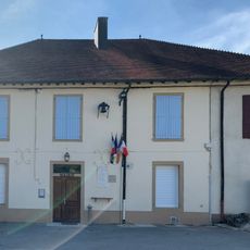
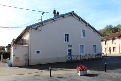
Town hall of Pouillat
4 km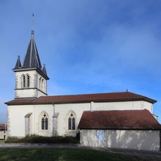
Église Sainte-Anne de Lains
5.9 km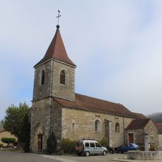
Église Saint-Étienne de Montagna-le-Templier
2.7 km
Église de l'Assomption-de-la-Bienheureuse-Vierge-Marie de Vosbles
3.6 km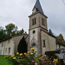
Église Saint-Clair de Villechantria
5 km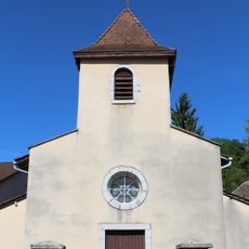
Église Saint-Gengulphe de Bourcia
5.6 km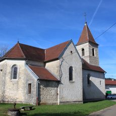
Église Saint-Michel de Genod
4.6 km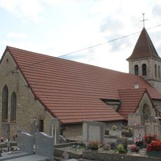
Église Saint-Pierre-ès-Liens de Dessia
5.6 km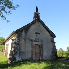
Chapelle Saint-Jean-Baptiste de Pouillat
3.9 km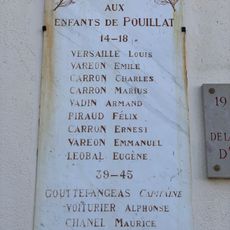
War memorial of Pouillat
4 km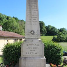
War memorial of Germagnat
3.7 km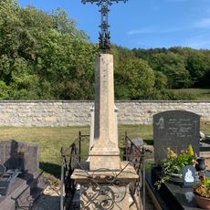
Cemetery cross of Germagnat
3.5 km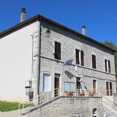
Town hall of Germagnat
3.7 km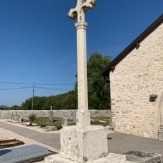
Cemetery cross of Pouillat
4.1 kmRecenzje
Odwiedzili Państwo to miejsce? Kliknijcie gwiazdki, aby je ocenić i podzielić się swoimi zdjęciami lub doświadczeniem ze społecznością. Wypróbuj teraz! Możesz anulować w każdej chwili.
Odkrywaj ukryte skarby w każdej przygodzie!
Od urokliwych małych kawiarni po ukryte punkty widokowe – ucieknij od tłumów i znajdź miejsca, które naprawdę do Ciebie pasują. Nasza aplikacja ułatwia wszystko: wyszukiwanie głosowe, sprytne filtry, zoptymalizowane trasy i autentyczne wskazówki od podróżników z całego świata. Pobierz teraz i przeżyj przygodę na swoim telefonie!

Nowe podejście do odkrywania turystyki❞
— Le Figaro
Wszystkie miejsca warte odkrycia❞
— France Info
Wycieczka na miarę w zaledwie kilka kliknięć❞
— 20 Minutes