
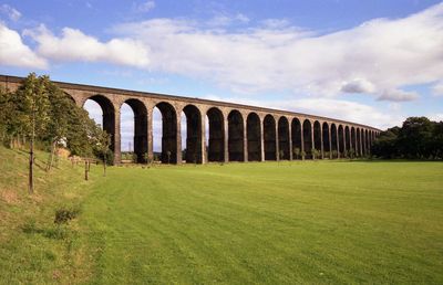
Penistone Railway Viaduct on Penistone and Denby Dale Line
Penistone Railway Viaduct on Penistone and Denby Dale Line, railway viaduct in Penistone, Barnsley, South Yorkshire, UK
Lokalizacja: Penistone
Współrzędne GPS: 53.52853,-1.62399
Najnowsza aktualizacja: 11 marca 2025 o 13:08

Penistone Paramount Cinema
403 m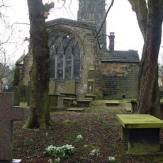
Saint John the Baptist Church, Penistone
478 m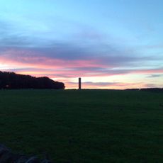
Hartcliff Folly
3.1 km
Church of St Saviour
2.3 km
Church of St John the Evangelist
1.9 km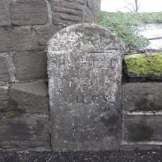
Milestone Built Into North Wall Of Churchyard At Se 247033
409 m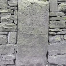
Milestone Built Into Wall And Adjacent To Netherfield Congregational Chapel At Se 242039
837 m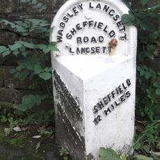
Milestone Approximately 5 Metres East Of Junction With Mortimer Road
4 km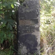
Milestone Approximately 200 Metres East Of Roundabout At Junction With A629 At Se 259043
1.1 km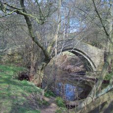
Willow Bridge, Barnsley
2 km
Penistone War Memorial
490 m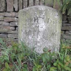
Milestone Approximately 100 Metres North Of Penistone Grammar School
1.1 km
Gunthwaite Hall Barn Approximately 50 Metres North Of Gunthwaite Hall (east Part)
3.2 km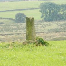
Wayside cross south of Hartcliff Road
2.2 km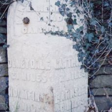
Milestone Approximately 200 Metres West Of Junction With Coach Gae
3.9 km
Milestone
458 m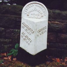
Milestone Approximately 400 Metres West Of Junction With Underbank Lane
4.1 km
Milestone Set In South Side Of Southern Wall Enclosing Ring Wood
3.1 km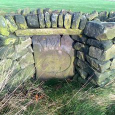
Greyhound Stone Approximately 300 Metres East Of Junction With Hartcliff Hill Road
3.1 km
Cross Base, In Churchyard, Approximately 5 Metres West Of West Door Of Church Of St John
487 m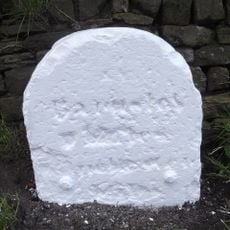
Milestone Opposite Number 351
3.3 km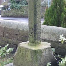
Cross And Shaft, In Churchyard Approximately 10 Metres South Of South Porch Of Church Of St John
492 m
Milestone Opposite Junction With Towngate
1.7 km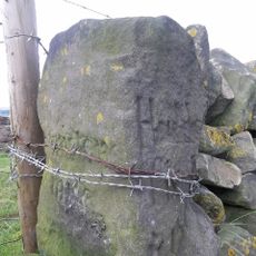
Milestone Approximately 200 Metres South Of Junction With Royal Moor Road At Se 216040
3.3 km
Guide Post At Junction With Dyson Cote Lane
3.3 km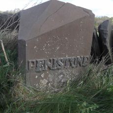
Milepost Approximately 350 Metres West Of Thurgoland Bridge
3.4 km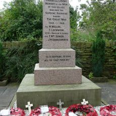
Hoylandswaine War Memorial
1.7 km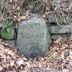
Take Off Stone Approximately 250 Metres South Of Junction With Mossley Road
3 kmRecenzje
Odwiedzili Państwo to miejsce? Kliknijcie gwiazdki, aby je ocenić i podzielić się swoimi zdjęciami lub doświadczeniem ze społecznością. Wypróbuj teraz! Możesz anulować w każdej chwili.
Odkrywaj ukryte skarby w każdej przygodzie!
Od urokliwych małych kawiarni po ukryte punkty widokowe – ucieknij od tłumów i znajdź miejsca, które naprawdę do Ciebie pasują. Nasza aplikacja ułatwia wszystko: wyszukiwanie głosowe, sprytne filtry, zoptymalizowane trasy i autentyczne wskazówki od podróżników z całego świata. Pobierz teraz i przeżyj przygodę na swoim telefonie!

Nowe podejście do odkrywania turystyki❞
— Le Figaro
Wszystkie miejsca warte odkrycia❞
— France Info
Wycieczka na miarę w zaledwie kilka kliknięć❞
— 20 Minutes