
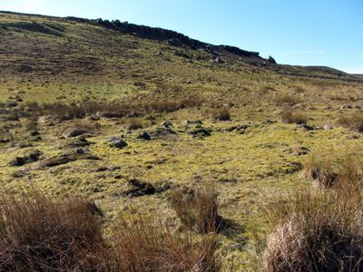
Round cairn, 150m ESE of Kingscrag Gate, round cairn in Simonburn, Northumberland, England, UK
Lokalizacja: Simonburn
Współrzędne GPS: 55.03140,-2.32039
Najnowsza aktualizacja: 3 marca 2025 o 18:11
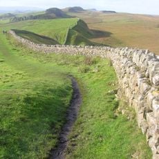
Wał Hadriana
2 km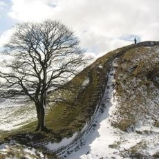
Drzewo z Sycamore Gap
4.6 km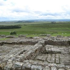
Housesteads Roman Fort
2.2 km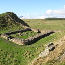
Milecastle 39
4.7 km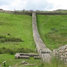
Knag Burn Gateway
1.9 km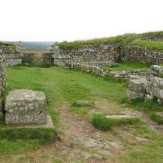
Milecastle 37
2.4 km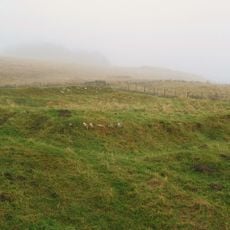
Milecastle 38
3.6 km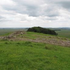
Milecastle 35
1.1 km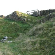
Milecastle 33
3.5 km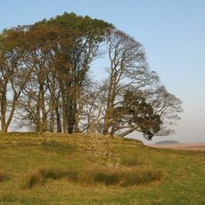
Milecastle 34
2.1 km
Milecastle 32
4.9 km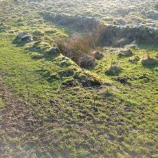
Housesteads Mithraeum
2.4 km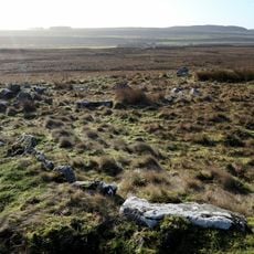
Ring cairn and shieling immediately west of Chatley Crags
4.5 km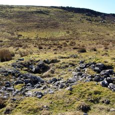
Round cairn, 150m east of Kingscrag Gate
34 m
Stone circle, defended settlement, Romano-British farmstead and field system, Roman camp and group of shielings immediately sout
2.4 km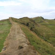
Housesteads fort, section of Wall and vallum between the field boundary west of milecastle 36 and the field boundary west of turret 37a in wall miles 36 and 37
2.4 km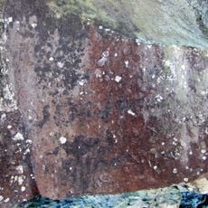
Roman quarry inscription on Queen's Crags, 680m south east of East Hotbank
284 m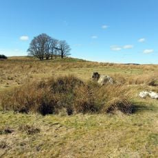
Stone circle, 380m east of King's Crags
710 m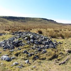
Round cairn, 120m south of King's Crags
351 m
Uninscribed Roman milestone at Codley Gate (Vindolanda)
5 km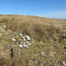
Round cairn, 120m ENE of Kingscrag Gate
64 m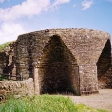
Crindledykes Lime Kiln
4.1 km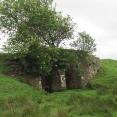
Lime Kiln 800 Metres West Of Town Shields Farmhouse
1.4 km
East Stonefields Farmhouse And Attached Farmbuildings And Walls
1.9 km
Bardon Mill
2.2 km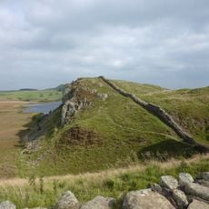
Hadrian's Wall and associated features between the field boundary west of turret 37a and the road to Steel Rigg car park in wall
4.4 km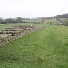
Hadrians Wall, Milecastles and Turrets
2.2 km
Milestone, E of Housesteads Roman Fort; at entrance to "Beggarbog"
2.2 kmRecenzje
Odwiedzili Państwo to miejsce? Kliknijcie gwiazdki, aby je ocenić i podzielić się swoimi zdjęciami lub doświadczeniem ze społecznością. Wypróbuj teraz! Możesz anulować w każdej chwili.
Odkrywaj ukryte skarby w każdej przygodzie!
Od urokliwych małych kawiarni po ukryte punkty widokowe – ucieknij od tłumów i znajdź miejsca, które naprawdę do Ciebie pasują. Nasza aplikacja ułatwia wszystko: wyszukiwanie głosowe, sprytne filtry, zoptymalizowane trasy i autentyczne wskazówki od podróżników z całego świata. Pobierz teraz i przeżyj przygodę na swoim telefonie!

Nowe podejście do odkrywania turystyki❞
— Le Figaro
Wszystkie miejsca warte odkrycia❞
— France Info
Wycieczka na miarę w zaledwie kilka kliknięć❞
— 20 Minutes